 Ridgeflow
Hunter Valley tracks
Otago · New Zealand
Distance12.5 km (7.7 mi)along the line
Climb159 m (522 ft)23 m (75 ft) down
High point577 m (1,893 ft)lowest 440 m (1,444 ft)
Walking time3 h 23 minone way, moving, our estimate
GradeAdvancedDOC
Elevation profile
Map
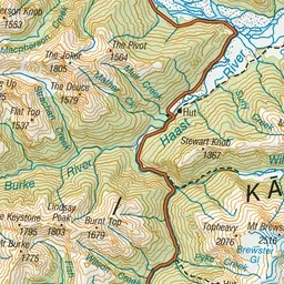
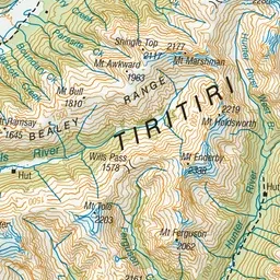
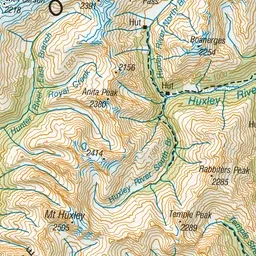
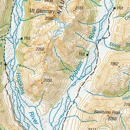
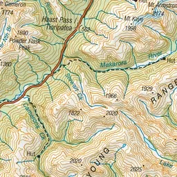
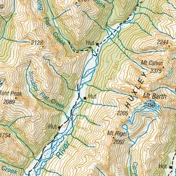
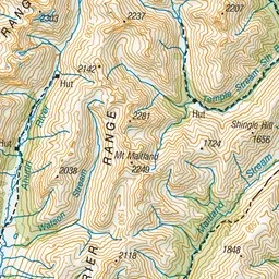
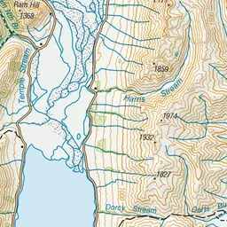
Pink: the track. Green dot: the start. Orange: huts.
About the track
The Hunter River Valley is part of the Hāwea Conservation Park and nestled between the Young and Huxley ranges. Its open grasslands, braided river system and deep canyon gorges offer remote seekers a beautiful but challenging backcountry experience.
Huts on or near the track
- Forbes Hut (557 m)
- Ferguson Hut (441 m)
Hunter Valley tracks on DOC's website, for track alerts, bookings and closures.