 Ridgeflow
Inland Track
Tasman · New Zealand
Distance41.6 km (25.9 mi)all 7 sections
Climb1,973 m (6,473 ft)2,017 m (6,617 ft) down
High point1,052 m (3,451 ft)lowest 2 m (7 ft)
DOC's time3 daysas DOC publishes it
GradeAdvancedDOC
This track is mapped in 7 separate sections, so there is no single profile or walking time. Climb is added up section by section.
Map
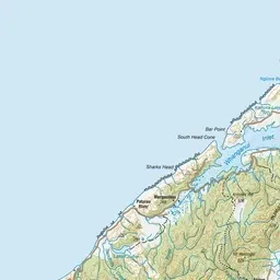
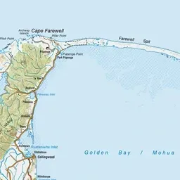


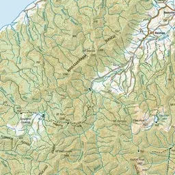
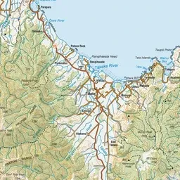
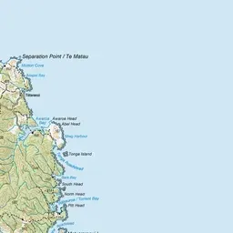

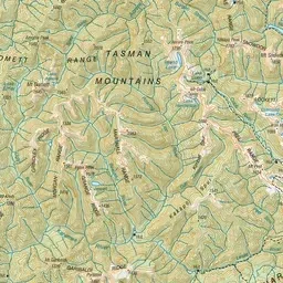
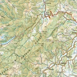
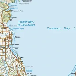
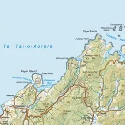
Pink: the track. Orange: huts. Blue: campsites.
About the track
Inland Track travels through regenerating and undisturbed forest where tui, bellbirds and other wildlife can be seen. Occasional granite outcrops offer excellent views of the coast.
Huts on or near the track
- Holyoakes Shelter (585 m)
- Awapoto Hut (662 m)
- Castle Rock Hut (718 m)
Campsites
- Coquille Bay Campsite (4 m)
- Tinline Campsite (17 m)
Inland Track on DOC's website, for track alerts, bookings and closures.