 Ridgeflow
Jolliffe Saddle Track
Canterbury · New Zealand
Distance0.8 km (0.5 mi)along the line
Climb54 m (177 ft)46 m (151 ft) down
High point522 m (1,713 ft)lowest 468 m (1,535 ft)
Walking time18 minone way, moving, our estimate
GradeEasyDOC
Elevation profile
Map
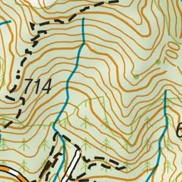
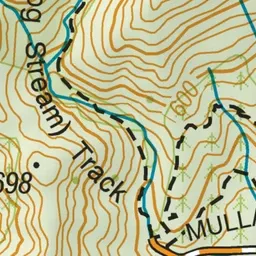
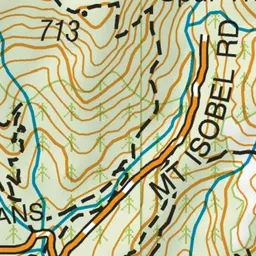
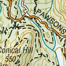
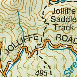
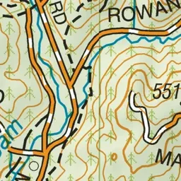
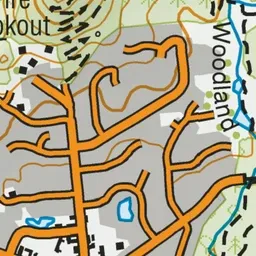
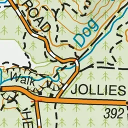
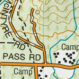
Pink: the track. Green dot: the start.
About the track
This track connects with Dog Stream Track to make up part of the Dog Stream/Timberland Circuit.
Jolliffe Saddle Track on DOC's website, for track alerts, bookings and closures.