 Ridgeflow
Kaharoa Kōkako Track
Bay of Plenty · New Zealand
Distance1.1 km (0.7 mi)along the line
Climb0 m (0 ft)94 m (308 ft) down
High point295 m (968 ft)lowest 200 m (656 ft)
DOC's time45 min one wayas DOC publishes it
Walking time17 minone way, moving, our estimate
GradeAdvancedDOC
Elevation profile
Map
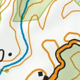
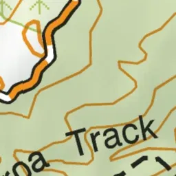
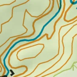
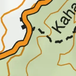
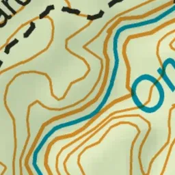
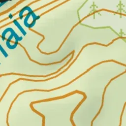
Pink: the track. Green dot: the start.
About the track
Walk downhill through lush native forest to Onaia Stream. Keep your eyes and ears peeled for kōkako hopping through the forest canopy feeding or singing.
Kaharoa Kōkako Track on DOC's website, for track alerts, bookings and closures.