 Ridgeflow
Kahikatea Walk
Waikato · New Zealand
Distance0.7 km (0.5 mi)along the line
Climb0 m (0 ft)0 m (0 ft) down
High point59 m (194 ft)lowest 49 m (161 ft)
DOC's time20 minas DOC publishes it
Walking time11 minone way, moving, our estimate
GradeEasiestDOC
Elevation profile
Map
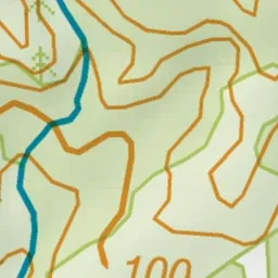
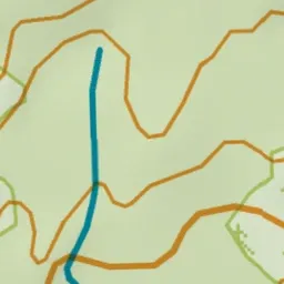
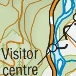
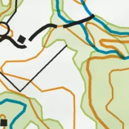
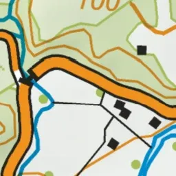
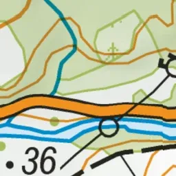
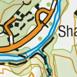
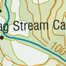
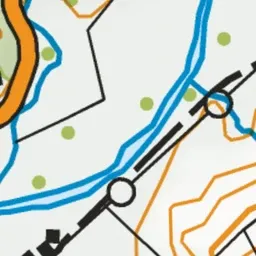
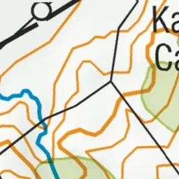
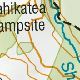
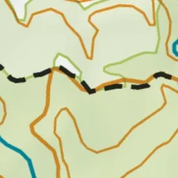
Pink: the track. Blue: campsites.
About the track
A family-friendly walk through native plantings that leads to an old water race.
Campsites
- Kahikatea Campsite (48 m)
- Shag Stream Campsite (54 m)
Kahikatea Walk on DOC's website, for track alerts, bookings and closures.