 Ridgeflow
Kākā Point Bush Walk
Otago · New Zealand
Distance1.5 km (1 mi)along the line
Climb36 m (118 ft)19 m (62 ft) down
High point41 m (135 ft)lowest 18 m (59 ft)
DOC's time40-50 minsas DOC publishes it
Walking time27 minone way, moving, our estimate
GradeEasiestDOC
Elevation profile
Map
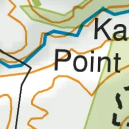
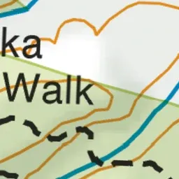
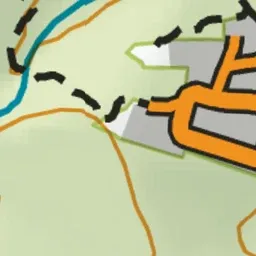
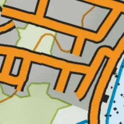
Pink: the track.
About the track
This is an easy bush walk in the Kākā Point Scenic Reserve that gives the impression that it is very remote, yet almost within the township of Kākā Point.
Kākā Point Bush Walk on DOC's website, for track alerts, bookings and closures.