 Ridgeflow
Karakariki Track
Waikato · New Zealand
Distance2.3 km (1.4 mi)all 3 sections
Climb152 m (499 ft)11 m (36 ft) down
High point182 m (597 ft)lowest 39 m (128 ft)
DOC's time20 and 45 mins one wayas DOC publishes it
GradeAdvancedDOC
This track is mapped in 3 separate sections, so there is no single profile or walking time. Climb is added up section by section.
Map
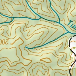
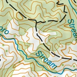
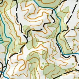
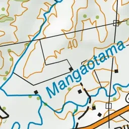
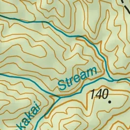
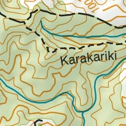
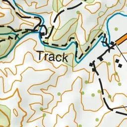
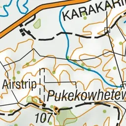
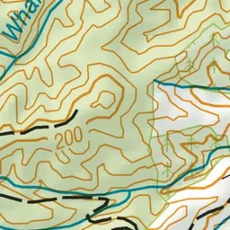
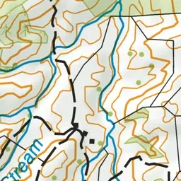
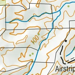
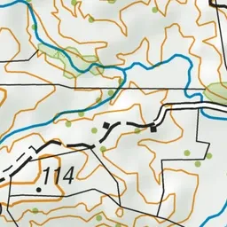
Pink: the track.
About the track
With suspension bridges, a stream, a waterfall and a nice spot for a picnic, this track has plenty to keep kids entertained.
Karakariki Track on DOC's website, for track alerts, bookings and closures.