 Ridgeflow
Karangarua and Douglas valleys routes
West Coast · New Zealand
Distance34.5 km (21.4 mi)all 2 sections
Climb1,793 m (5,883 ft)1,779 m (5,837 ft) down
High point1,500 m (4,921 ft)lowest 40 m (131 ft)
DOC's time2 days +as DOC publishes it
GradeExpertDOC
This track is mapped in 2 separate sections, so there is no single profile or walking time. Climb is added up section by section.
Map
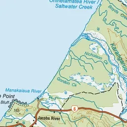
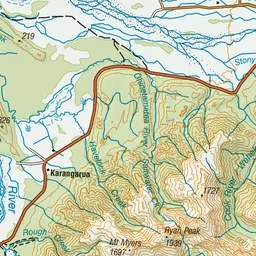
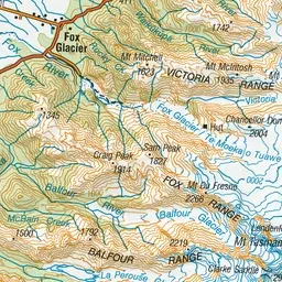
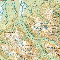
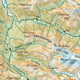
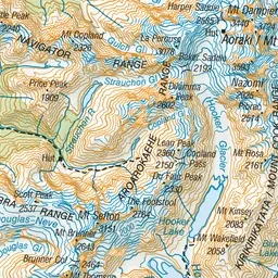
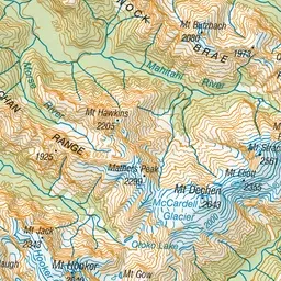
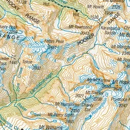
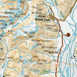
Pink: the track. Orange: huts.
About the track
The Karangarua and Douglas valleys offer hunters, hikers and mountaineers many challenging opportunities and rewards within the rugged backcountry environment of Westland Tai Poutini National Park.
Huts on or near the track
- Cassel Flat Hut (176 m)
- Lame Duck Hut (576 m)
- Christmas Flat Hut (812 m)
- Horace Walker Hut (912 m)
Karangarua and Douglas valleys routes on DOC's website, for track alerts, bookings and closures.