 Ridgeflow
Karioi Track
Waikato · New Zealand
Distance4.1 km (2.5 mi)all 3 sections
Climb610 m (2,001 ft)129 m (423 ft) down
High point732 m (2,402 ft)lowest 219 m (719 ft)
DOC's time3 hr to lookout, 3 hr 30 min to summitas DOC publishes it
GradeAdvancedDOC
This track is mapped in 3 separate sections, so there is no single profile or walking time. Climb is added up section by section.
Map
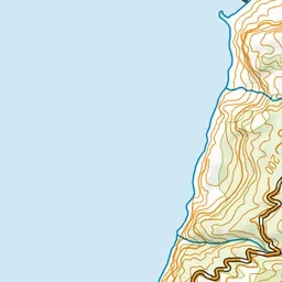
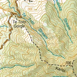
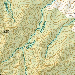
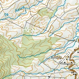
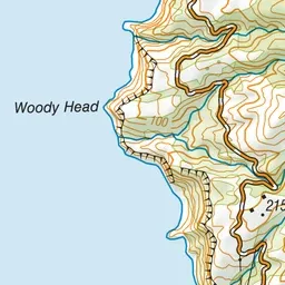
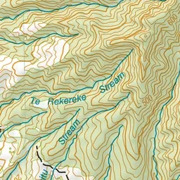
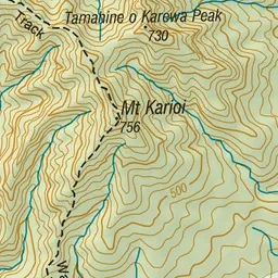
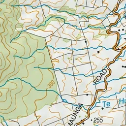
Pink: the track.
About the track
Karioi is an ancient volcano and the views from the summit are spectacular. This is the steeper but more scenic of the two summit tracks to Mt Karioi.
Karioi Track on DOC's website, for track alerts, bookings and closures.