 Ridgeflow
Kātiki Point Walking Track
Otago · New Zealand
Distance0.4 km (0.2 mi)along the line
Climb0 m (0 ft)25 m (82 ft) down
High point39 m (128 ft)lowest 14 m (46 ft)
DOC's time20 min returnas DOC publishes it
Walking time6 minone way, moving, our estimate
GradeEasyDOC
Elevation profile
Map
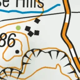
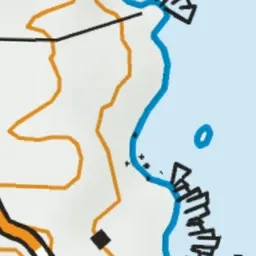

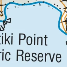
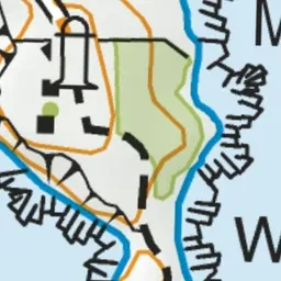



Pink: the track. Green dot: the start.
About the track
Kātiki Point is the southern point of Moeraki Peninsula. This short walk has commanding coastal views, you'll see the historic lighthouse, Te Raka a Hineatea Pā site, and possibly yellow-eyed penguins and NZ fur seals.
Kātiki Point Walking Track on DOC's website, for track alerts, bookings and closures.