 Ridgeflow
Kauaeranga Kauri Trail (Pinnacles Walk)
Waikato · New Zealand
Distance6.3 km (3.9 mi)all 9 sections
Climb559 m (1,834 ft)154 m (505 ft) down
High point610 m (2,001 ft)lowest 157 m (515 ft)
DOC's time3 hr one wayas DOC publishes it
GradeIntermediateDOC
This track is mapped in 9 separate sections, so there is no single profile or walking time. Climb is added up section by section.
Map
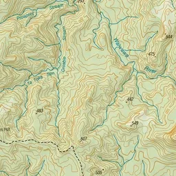
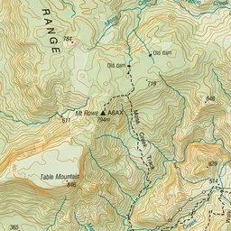
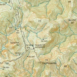
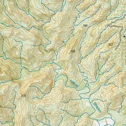
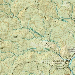
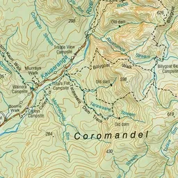
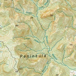
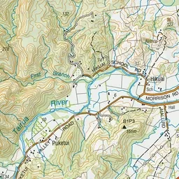
Pink: the track. Orange: huts. Blue: campsites.
About the track
This popular walk leads to Pinnacles Hut, and on to the summit of the Pinnacles with spectacular views of the Coromandel Peninsula. It can be completed as a day or overnight walk.
Huts on or near the track
- Pinnacles Hut (581 m, bookable)
Campsites
- Trestle View Campsite (157 m)
- Dancing Camp Campsite (578 m)
Kauaeranga Kauri Trail (Pinnacles Walk) on DOC's website, for track alerts, bookings and closures.