 Ridgeflow
Kauri Block Track
Waikato · New Zealand
Distance1.5 km (0.9 mi)all 4 sections
Climb50 m (164 ft)61 m (200 ft) down
High point82 m (269 ft)lowest 10 m (33 ft)
DOC's time1 hr 30 min returnas DOC publishes it
GradeEasyDOC
This track is mapped in 4 separate sections, so there is no single profile or walking time. Climb is added up section by section.
Map
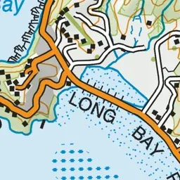
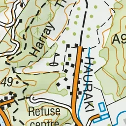
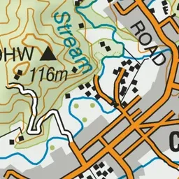

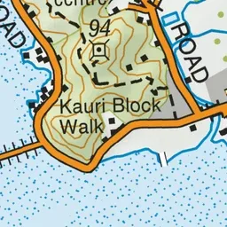
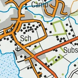
Pink: the track.
About the track
This walk follows a ridge through regenerating bush and native plantings beneath the Te Kauri Pā. All visitors to this site are asked to be respectful to these sites of cultural significance.
Kauri Block Track on DOC's website, for track alerts, bookings and closures.