 Ridgeflow
Kawakawa Bay tracks
Waikato · New Zealand
Distance15.9 km (9.9 mi)along the line
Climb371 m (1,217 ft)210 m (689 ft) down
High point520 m (1,706 ft)lowest 359 m (1,178 ft)
DOC's time2 hr | 3 hras DOC publishes it
Walking time4 h 36 minone way, moving, our estimate
GradeEasyDOC
Elevation profile
Map
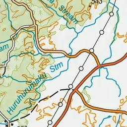
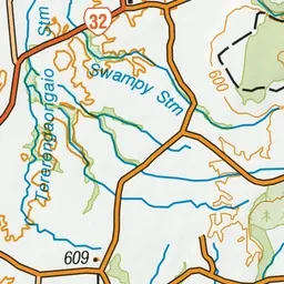
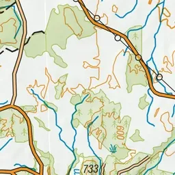
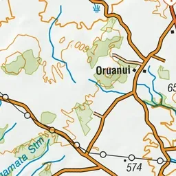
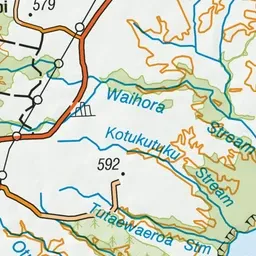
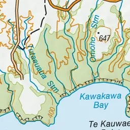
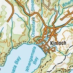
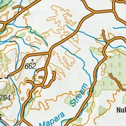
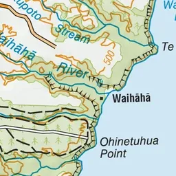
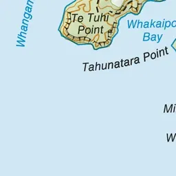
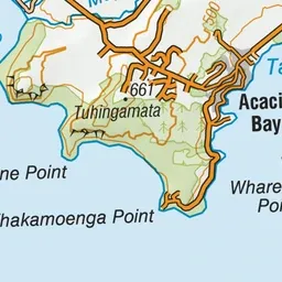
Pink: the track. Green dot: the start.
About the track
The K2K and Orakau tracks both take you into the picturesque Kawakawa Bay; walk or ride the trails separately, or link them together for a longer day out.
Kawakawa Bay tracks on DOC's website, for track alerts, bookings and closures.