 Ridgeflow
Kelly Knight Hut Track
Manawatū-Whanganui · New Zealand
Distance2.1 km (1.3 mi)along the line
Climb111 m (364 ft)286 m (938 ft) down
High point820 m (2,690 ft)lowest 631 m (2,070 ft)
DOC's time2 hr 30 min - 3 hr 30 minas DOC publishes it
Walking time46 minone way, moving, our estimate
GradeAdvancedDOC
Elevation profile
Map
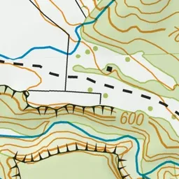
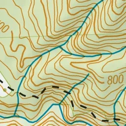
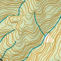
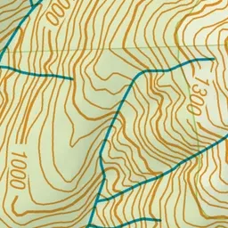
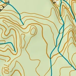
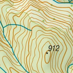
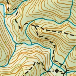
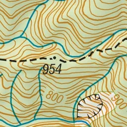
Pink: the track. Green dot: the start.
About the track
The track to Kelly Knight Hut crosses farmland to the Ruahine Forest Park boundary, then sidles above the Pourangaki River to reach the hut via a swingbridge. Stay a night and return the same way.
Kelly Knight Hut Track on DOC's website, for track alerts, bookings and closures.