 Ridgeflow
Kepler Track
Southland · New Zealand
Distance59.4 km (36.9 mi)all 5 sections
Climb1,903 m (6,243 ft)1,846 m (6,056 ft) down
High point1,454 m (4,770 ft)lowest 181 m (594 ft)
DOC's time3-4 daysas DOC publishes it
GradeIntermediate, Advanced, ExpertDOC
This track is mapped in 5 separate sections, so there is no single profile or walking time. Climb is added up section by section.
Map
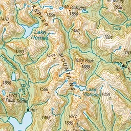
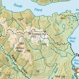
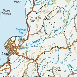
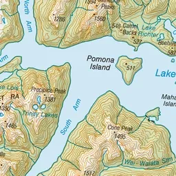
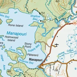
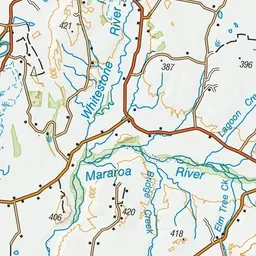
Pink: the track. Orange: huts. Blue: campsites.
About the track
Walk along the shores of beech-forested lakes and up to tussock-covered ridgelines with spectacular views. From May to late October, conditions can be challenging – only attempt if you have the skills and experience.
Huts on or near the track
- Moturau Hut (187 m, bookable)
- Iris Burn Hut (458 m, bookable)
- Luxmore Hut (1046 m, bookable)
Campsites
- Iris Burn Campsite (458 m)
- Brod Bay Campsite (208 m)
Kepler Track on DOC's website, for track alerts, bookings and closures.