 Ridgeflow
Kepler Track: Carpark to Dock Bay and Brod Bay
Southland · New Zealand
Distance4.7 km (2.9 mi)along the line
Climb20 m (66 ft)23 m (75 ft) down
High point221 m (725 ft)lowest 207 m (679 ft)
DOC's time1-3 hr returnas DOC publishes it
Walking time1 h 13 minone way, moving, our estimate
GradeEasyDOC
Elevation profile
Map
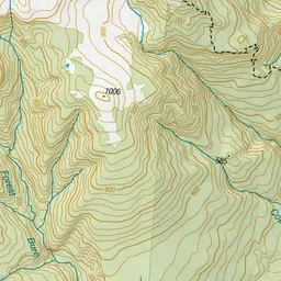
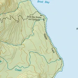
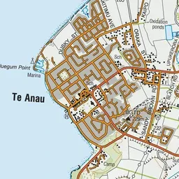
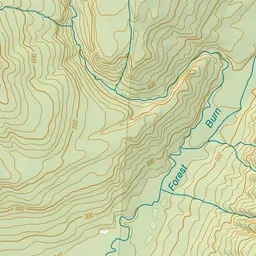
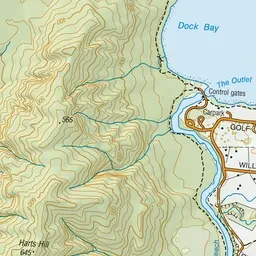
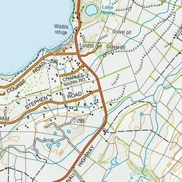
Pink: the track. Green dot: the start. Blue: campsites.
About the track
This easy track follows the first part of the Kepler Track (a Great Walk) around the Te Anau lake shore to two lovely swimming and picnicking - it's great for children and they can earn a Kiwi Guardians medal too! Catch a water taxi one way for a shorter
Campsites
- Brod Bay Campsite (208 m)
Kepler Track: Carpark to Dock Bay and Brod Bay on DOC's website, for track alerts, bookings and closures.