 Ridgeflow
Kepler Track: Carpark to Rainbow Reach
Southland · New Zealand
Distance9.6 km (6 mi)along the line
Climb88 m (289 ft)104 m (341 ft) down
High point236 m (774 ft)lowest 204 m (669 ft)
DOC's time2.5 hr one wayas DOC publishes it
Walking time2 h 33 minone way, moving, our estimate
GradeIntermediateDOC
Elevation profile
Map
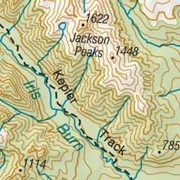
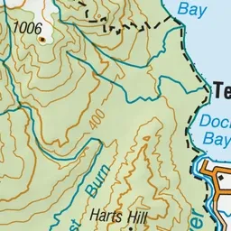

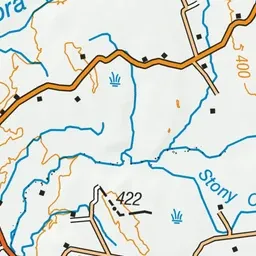

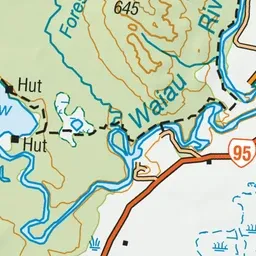
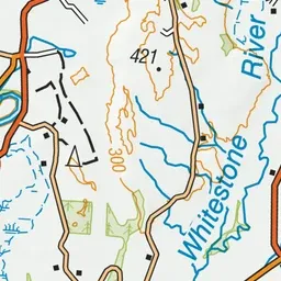
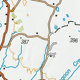
Pink: the track. Green dot: the start.
About the track
A pleasant walking track alongside the river through beech forest, along part of the Kepler Track (Great Walk) near Te Anau.
Kepler Track: Carpark to Rainbow Reach on DOC's website, for track alerts, bookings and closures.