 Ridgeflow
Kerikeri River Track
Northland · New Zealand
Distance3.9 km (2.5 mi)along the line
Climb55 m (180 ft)12 m (39 ft) down
High point54 m (177 ft)lowest 10 m (33 ft)
DOC's time1 hr 30 minas DOC publishes it
Walking time1 h 5 minone way, moving, our estimate
GradeEasyDOC
Elevation profile
Map
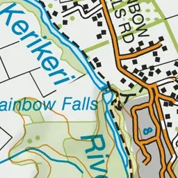
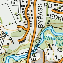
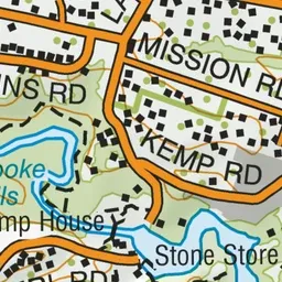
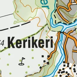
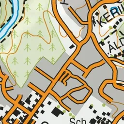
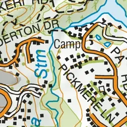
Pink: the track. Green dot: the start.
About the track
Follow the bank of the Kerikeri River through regenerating forest and discover the remains of an historic power house, and Wharepoke and Rainbow Falls. This track is part of Te Araroa Trail.
Kerikeri River Track on DOC's website, for track alerts, bookings and closures.