 Ridgeflow
Kirtle Burn Track
Otago · New Zealand
Distance12.2 km (7.6 mi)along the line
Climb251 m (823 ft)464 m (1,522 ft) down
High point1,909 m (6,263 ft)lowest 1,480 m (4,856 ft)
DOC's time6 hr returnas DOC publishes it
Walking time3 h 28 minone way, moving, our estimate
GradeIntermediateDOC
Elevation profile
Map
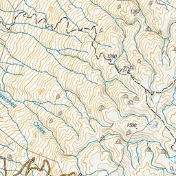
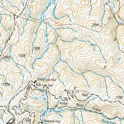
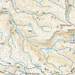
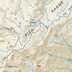
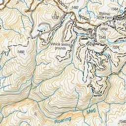
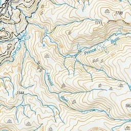
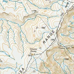
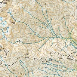
Pink: the track. Green dot: the start. Orange: huts.
About the track
Kirtle Burn Track starts at the Western side of the Pisa Conservation Area, accessing Kirtle Burn Hut, and giving access to Mt Pisa.
Huts on or near the track
- Kirtle Burn Hut (1671 m, bookable)
Kirtle Burn Track on DOC's website, for track alerts, bookings and closures.