 Ridgeflow
Knights Track to Pohangina Valley East Road
Manawatū-Whanganui · New Zealand
Distance19.2 km (11.9 mi)all 6 sections
Climb1,989 m (6,526 ft)1,693 m (5,554 ft) down
High point1,512 m (4,961 ft)lowest 322 m (1,056 ft)
DOC's time3 daysas DOC publishes it
GradeAdvancedDOC
This track is mapped in 6 separate sections, so there is no single profile or walking time. Climb is added up section by section.
Map
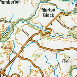
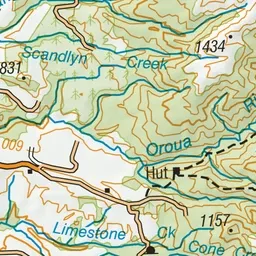
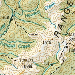
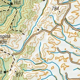
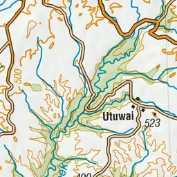
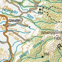
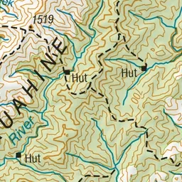
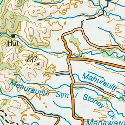
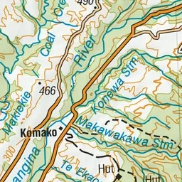
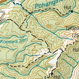
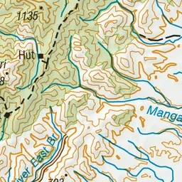
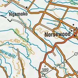
Pink: the track. Orange: huts.
About the track
There is a bit of everything on this hike in the Ruahine Forest Park - open tops, rivers and bush travel.
Huts on or near the track
- Mid Pohangina Hut (570 m)
Knights Track to Pohangina Valley East Road on DOC's website, for track alerts, bookings and closures.