 Ridgeflow
Koranga Tawa Loop Track
Gisborne · New Zealand
Distance24.5 km (15.2 mi)along the line
Climb951 m (3,120 ft)925 m (3,035 ft) down
High point703 m (2,306 ft)lowest 261 m (856 ft)
DOC's time2 - 3 daysas DOC publishes it
Walking time7 h 42 minone way, moving, our estimate
GradeAdvancedDOC
Elevation profile
Map
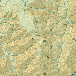
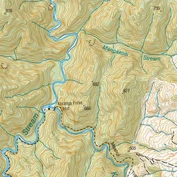
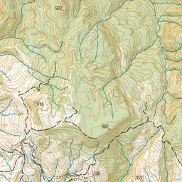
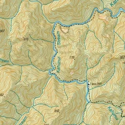
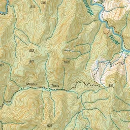
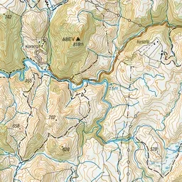
Pink: the track. Green dot: the start. Orange: huts.
About the track
This loop track provides options for an overnight hike with children or a multi-day hike with river walking sections.
Huts on or near the track
- Tawa Hut (366 m)
- Koranga Forks Hut (261 m)
Koranga Tawa Loop Track on DOC's website, for track alerts, bookings and closures.