 Ridgeflow
Kura Tāwhiti Access Track
Canterbury · New Zealand
Distance1.1 km (0.7 mi)along the line
Climb49 m (161 ft)26 m (85 ft) down
High point795 m (2,608 ft)lowest 746 m (2,448 ft)
DOC's time20 minas DOC publishes it
Walking time21 minone way, moving, our estimate
GradeEasyDOC
Elevation profile
Map
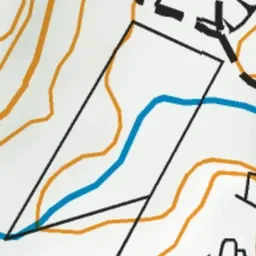
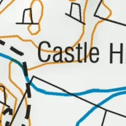
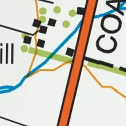
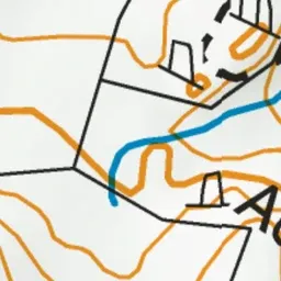
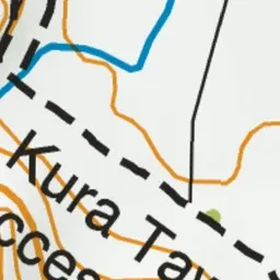


Pink: the track. Green dot: the start.
About the track
Wander through majestic limestone rock formations of special significance to Ngāi Tahu. It's one of our best short walks.
Kura Tāwhiti Access Track on DOC's website, for track alerts, bookings and closures.