 Ridgeflow
Lake Alta Track
Otago · New Zealand
Distance1.2 km (0.7 mi)along the line
Climb172 m (564 ft)0 m (0 ft) down
High point1,796 m (5,892 ft)lowest 1,625 m (5,331 ft)
DOC's time1 hr 30 minas DOC publishes it
Walking time35 minone way, moving, our estimate
GradeAdvancedDOC
Elevation profile
Map
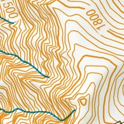
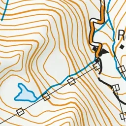
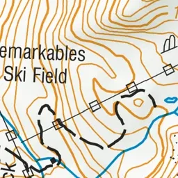
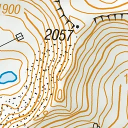
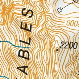
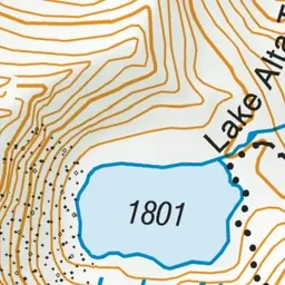
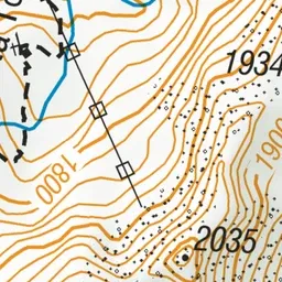
Pink: the track. Green dot: the start.
About the track
Climb to the picturesque glacial Lake Alta. In winter the route to the lake is through an operational ski field. It is not marked and covered by deep snow.
Lake Alta Track on DOC's website, for track alerts, bookings and closures.