 Ridgeflow
Lake Clearwater tracks
Canterbury · New Zealand
Distance12 km (7.5 mi)all 2 sections
Climb67 m (220 ft)695 m (2,280 ft) down
High point1,303 m (4,275 ft)lowest 668 m (2,192 ft)
DOC's timeVarious from 3 hr to 8 hr returnas DOC publishes it
GradeEasy, AdvancedDOC
This track is mapped in 2 separate sections, so there is no single profile or walking time. Climb is added up section by section.
Map
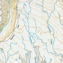
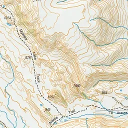
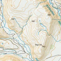
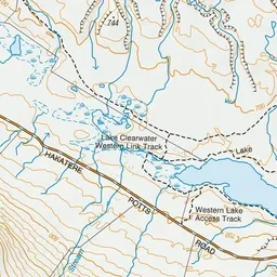
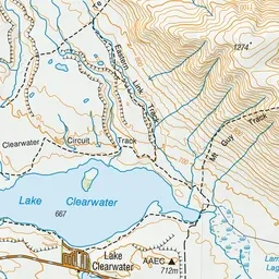
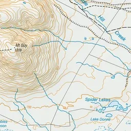
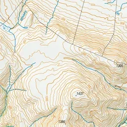
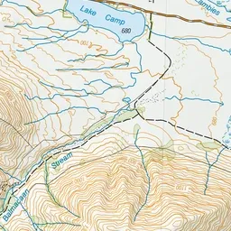
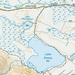
Pink: the track.
About the track
Enjoy views of Lake Clearwater from the lake shore or the nearby Mount Guy (1319 m).
Lake Clearwater tracks on DOC's website, for track alerts, bookings and closures.