 Ridgeflow
Lake Daniell Track
West Coast · New Zealand
Distance7.9 km (4.9 mi)along the line
Climb193 m (633 ft)91 m (299 ft) down
High point586 m (1,923 ft)lowest 460 m (1,509 ft)
DOC's time3 hr one wayas DOC publishes it
Walking time2 h 18 minone way, moving, our estimate
GradeIntermediateDOC
Elevation profile
Map
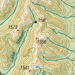
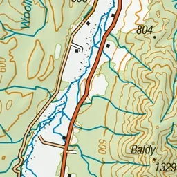
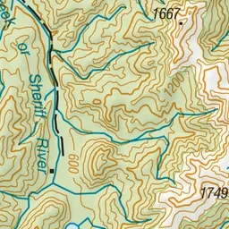
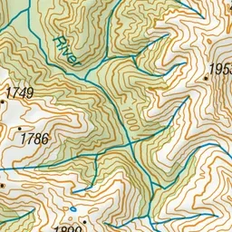
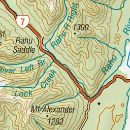
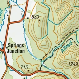
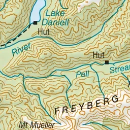
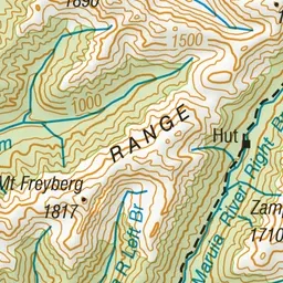
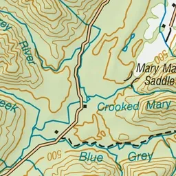
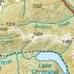
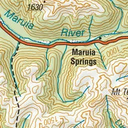
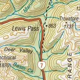
Pink: the track. Green dot: the start. Orange: huts. Blue: campsites.
About the track
This is a great walk for families with young children or those people new to hiking. The track is a well formed bench track that can also be completed as a day walk.
Huts on or near the track
- Kōhanga Atawhai – Manson Nicholls Hut (564 m, bookable)
Campsites
- Lake Daniell Campsite (563 m)
Lake Daniell Track on DOC's website, for track alerts, bookings and closures.