 Ridgeflow
Lake Dive tracks
Taranaki · New Zealand
Distance12.9 km (8 mi)all 4 sections
Climb1,010 m (3,314 ft)902 m (2,959 ft) down
High point1,478 m (4,849 ft)lowest 855 m (2,805 ft)
DOC's timeUpper track 3-4 hr, Lower track 3-4 hr, loop 7-8as DOC publishes it
GradeAdvancedDOC
This track is mapped in 4 separate sections, so there is no single profile or walking time. Climb is added up section by section.
Map
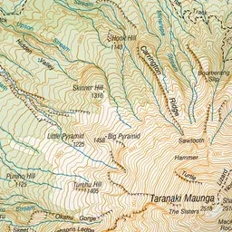
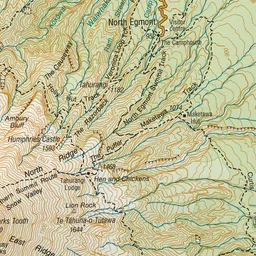
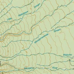
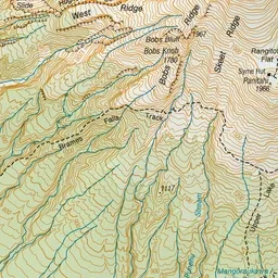
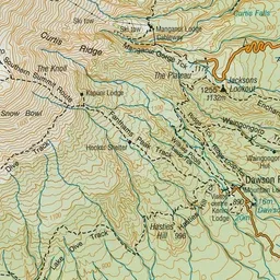
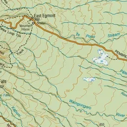
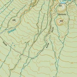
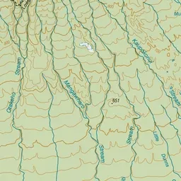
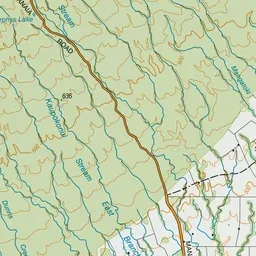
Pink: the track.
About the track
Enjoy great views up the mountain and down to the Taranaki Ring Plain and the coastline on the way to picturesque Mangōraukawa / Lake Dive. You can walk the upper or lower tracks, or combine them to make a loop track.
Lake Dive tracks on DOC's website, for track alerts, bookings and closures.