 Ridgeflow
Lake Gault Track
West Coast · New Zealand
Distance2.9 km (1.8 mi)along the line
Climb266 m (873 ft)54 m (177 ft) down
High point378 m (1,240 ft)lowest 105 m (344 ft)
DOC's time3 hr returnas DOC publishes it
Walking time1 h 11 minone way, moving, our estimate
GradeEasyDOC
Elevation profile
Map
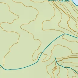
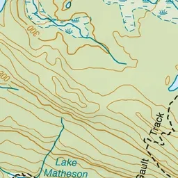
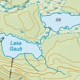
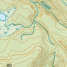
Pink: the track. Green dot: the start.
About the track
A gradual climb on a historical hiking track through ancient podocarp forest provides panoramic views of Aoraki /Mount Cook. On a good day, you can see the mountain landscape reflected in Lake Gault.
Lake Gault Track on DOC's website, for track alerts, bookings and closures.