 Ridgeflow
Lake Gunn Nature Walk
Southland · New Zealand
Distance1.6 km (1 mi)along the line
Climb0 m (0 ft)14 m (46 ft) down
High point492 m (1,614 ft)lowest 478 m (1,568 ft)
DOC's time45 min loopas DOC publishes it
Walking time23 minone way, moving, our estimate
GradeEasiestDOC
Elevation profile
Map


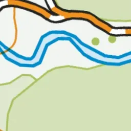
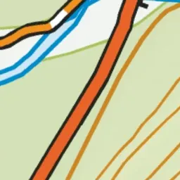
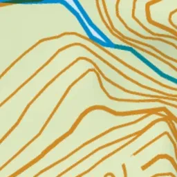
Pink: the track.
About the track
A short loop through red beech forest on the Milford Road, with glimpses of Eglinton Valley birdlife, Lake Gunn and the surrounding mountains.
Lake Gunn Nature Walk on DOC's website, for track alerts, bookings and closures.