 Ridgeflow
Lake Kaitawa Fairy Springs Track
Hawke's Bay · New Zealand
Distance1.6 km (1 mi)along the line
Climb35 m (115 ft)36 m (118 ft) down
High point480 m (1,575 ft)lowest 457 m (1,499 ft)
DOC's time1 hras DOC publishes it
Walking time28 minone way, moving, our estimate
GradeAdvancedDOC
Elevation profile
Map
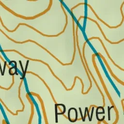

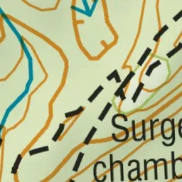
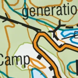
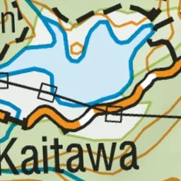
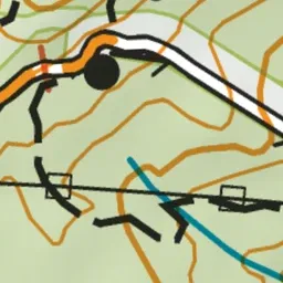
Pink: the track.
About the track
This one hour walk will lead you around Lake Kaitawa, a small lake to the south of Lake Waikaremoana. Along the way take the track to Green Lake and Fairy Springs.
Lake Kaitawa Fairy Springs Track on DOC's website, for track alerts, bookings and closures.