 Ridgeflow
Lake Kaniere Walkway
West Coast · New Zealand
Distance10.1 km (6.3 mi)along the line
Climb179 m (587 ft)158 m (518 ft) down
High point255 m (837 ft)lowest 134 m (440 ft)
DOC's time4 hr one wayas DOC publishes it
Walking time2 h 49 minone way, moving, our estimate
GradeEasyDOC
Elevation profile
Map
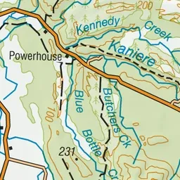
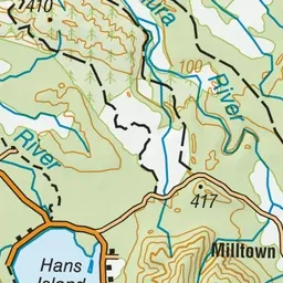
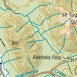
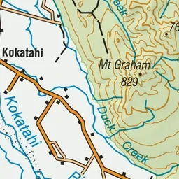
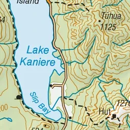
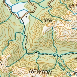
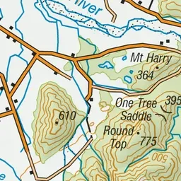
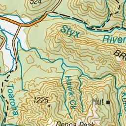
Pink: the track. Green dot: the start.
About the track
Walk or mountain bike along the western shores of Lake Kaniere through lush lakeside forest, passing many picturesque bays and numerous forest streams.
Lake Kaniere Walkway on DOC's website, for track alerts, bookings and closures.