 Ridgeflow
Lake Marian Track
Southland · New Zealand
Distance2.7 km (1.6 mi)along the line
Climb401 m (1,316 ft)15 m (49 ft) down
High point722 m (2,369 ft)lowest 321 m (1,053 ft)
DOC's time1 hr 30 min one wayas DOC publishes it
Walking time1 h 20 minone way, moving, our estimate
GradeAdvancedDOC
Elevation profile
Map
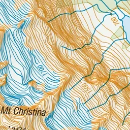
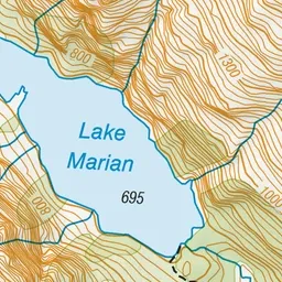
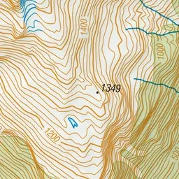
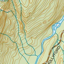
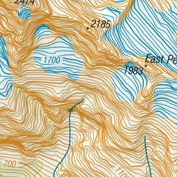
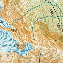
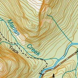
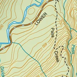
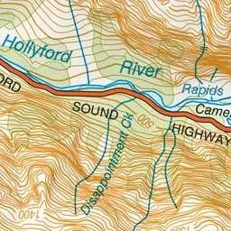
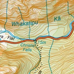
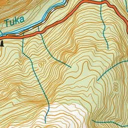
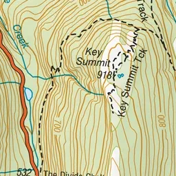
Pink: the track. Green dot: the start.
About the track
Enjoy this hiking track from Hollyford Road (off Milford Road) to beautiful Lake Marian - an alpine lake in a beautiful hanging valley.
Lake Marian Track on DOC's website, for track alerts, bookings and closures.