 Ridgeflow
Lake Roxburgh Walkway
Otago · New Zealand
Distance9.4 km (5.8 mi)along the line
Climb105 m (344 ft)114 m (374 ft) down
High point161 m (528 ft)lowest 135 m (443 ft)
DOC's time3 hr | 7–10 hras DOC publishes it
Walking time2 h 31 minone way, moving, our estimate
GradeEasy, AdvancedDOC
Elevation profile
Map
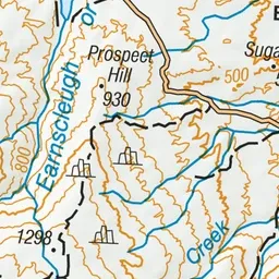
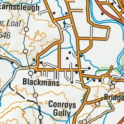
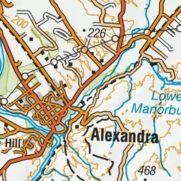
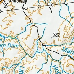
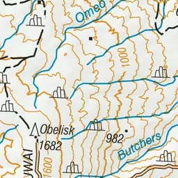
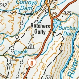
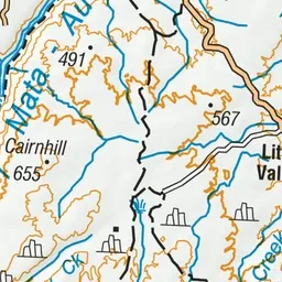
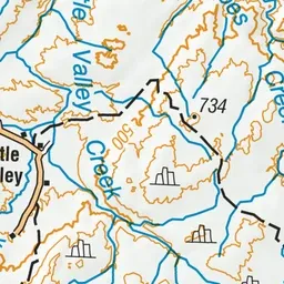
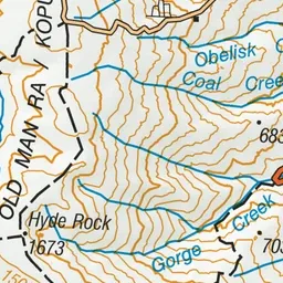
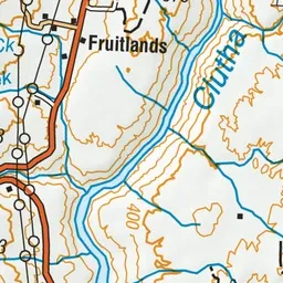
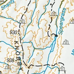
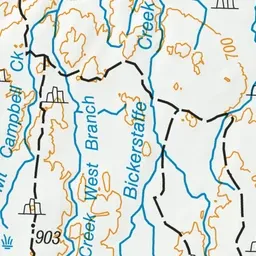
Pink: the track. Green dot: the start.
About the track
This historic trail follows an old bridle path that transported coal to the gold mining dredges 1890s-1930s.
Lake Roxburgh Walkway on DOC's website, for track alerts, bookings and closures.