 Ridgeflow
Lake Waikareiti Walk
Hawke's Bay · New Zealand
Distance3.2 km (2 mi)along the line
Climb293 m (961 ft)23 m (75 ft) down
High point915 m (3,002 ft)lowest 632 m (2,073 ft)
DOC's time2 hras DOC publishes it
Walking time1 h 17 minone way, moving, our estimate
GradeEasyDOC
Elevation profile
Map
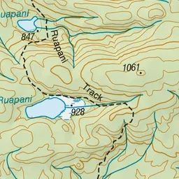
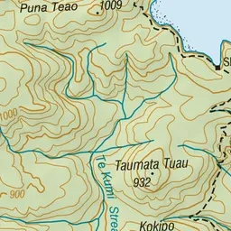
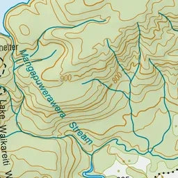
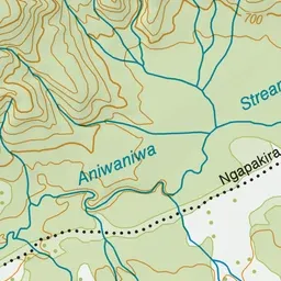
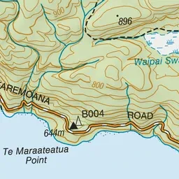
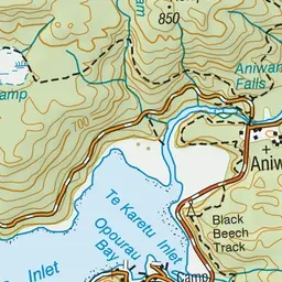
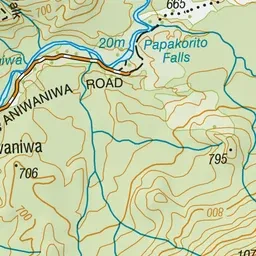
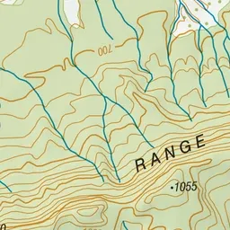
Pink: the track. Green dot: the start.
About the track
The Lake Waikareiti Walk will take you two hours to complete a return trip. Along the way you may hear the screech of the kākā and the chatty ki-ki-ki of the yellow-crowned parakeet (kākāriki).
Lake Waikareiti Walk on DOC's website, for track alerts, bookings and closures.