 Ridgeflow
Lake Waikaremoana Track
Hawke's Bay · New Zealand
Distance45.2 km (28.1 mi)all 5 sections
Climb2,052 m (6,732 ft)2,048 m (6,719 ft) down
High point1,170 m (3,839 ft)lowest 583 m (1,913 ft)
DOC's time3 - 4 daysas DOC publishes it
GradeIntermediateDOC
This track is mapped in 5 separate sections, so there is no single profile or walking time. Climb is added up section by section.
Map
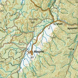
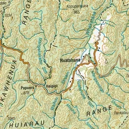
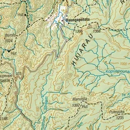
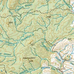
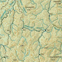
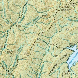
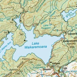
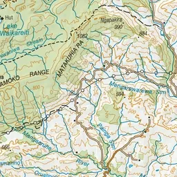
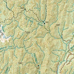
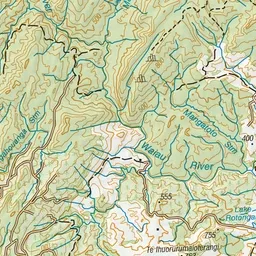
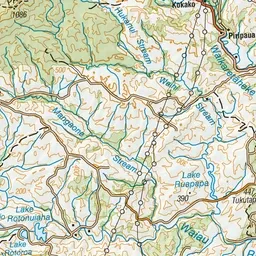
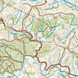
Pink: the track. Orange: huts. Blue: campsites.
About the track
Lake Waikaremoana is a Great Walk that is more of a backcountry, off the beaten track experience. Be immersed into stunning natural wilderness and welcomed into the homeland of Ngai Tūhoe.
Huts on or near the track
- Waiharuru Hut (586 m, bookable)
- Marauiti Hut (600 m, bookable)
- Panekire Hut (1147 m, bookable)
- Waiopaoa Hut (588 m, bookable)
Campsites
- Maraunui Campsite (586 m)
- Korokoro Campsite (589 m)
- Waiharuru Campsite (589 m)
- Waiopaoa Campsite (582 m)
Lake Waikaremoana Track on DOC's website, for track alerts, bookings and closures.