 Ridgeflow
Leatham Molesworth Route
Marlborough · New Zealand
Distance21.4 km (13.3 mi)all 3 sections
Climb1,117 m (3,665 ft)978 m (3,209 ft) down
High point1,588 m (5,210 ft)lowest 722 m (2,369 ft)
DOC's time4 - 5 daysas DOC publishes it
GradeExpertDOC
This track is mapped in 3 separate sections, so there is no single profile or walking time. Climb is added up section by section.
Map
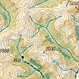
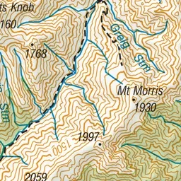
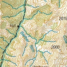
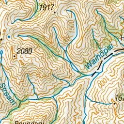
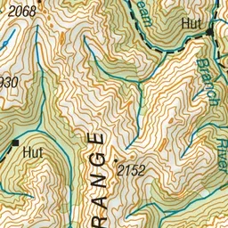
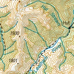
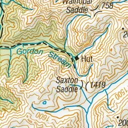
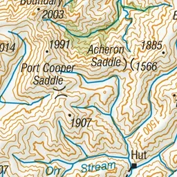
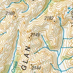
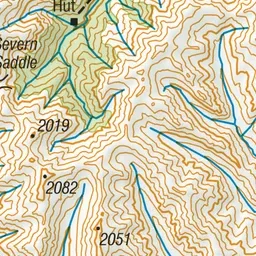
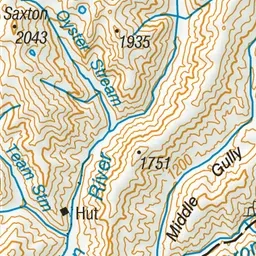
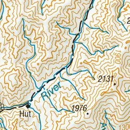
Pink: the track. Orange: huts.
About the track
This mainly unmarked loop route travels the Leatham Conservation Area and into the magnificent Molesworth Recreation Reserve, traversing mountain tops and tussocky valleys.
Huts on or near the track
- Top Leatham Hut (1017 m)
- Top Gordon Hut (1065 m)
- Bottom Gordon Hut (761 m)
Leatham Molesworth Route on DOC's website, for track alerts, bookings and closures.