 Ridgeflow
Leslie-Karamea Track
Tasman · New Zealand
Distance85.4 km (53.1 mi)all 6 sections
Climb2,791 m (9,157 ft)3,538 m (11,608 ft) down
High point1,331 m (4,367 ft)lowest 262 m (860 ft)
DOC's time6 to 9 days one wayas DOC publishes it
GradeAdvancedDOC
This track is mapped in 6 separate sections, so there is no single profile or walking time. Climb is added up section by section.
Map
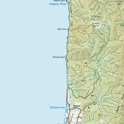
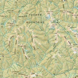
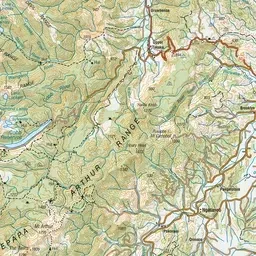
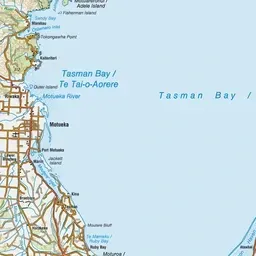
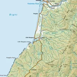
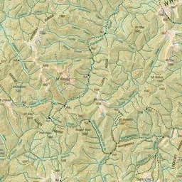
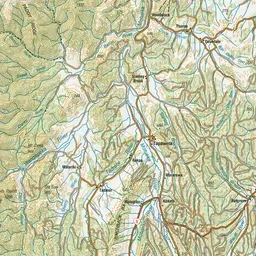
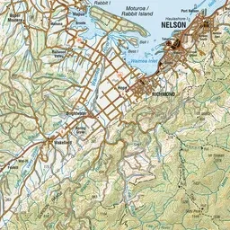
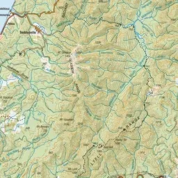
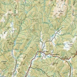
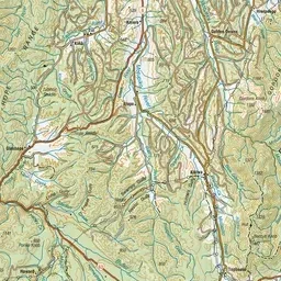
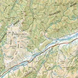
Pink: the track. Orange: huts. Blue: campsites.
About the track
The Leslie–Karamea Track is one of the region’s premier semi-wilderness experiences, situated in the middle of Kahurangi National Park.
Huts on or near the track
- Thor Hut (439 m)
- Stone Hut (664 m)
- Kings Creek Hut (448 m)
- Trevor Carter Hut (499 m)
- Venus Hut (378 m)
- Splugeons Rock Shelter (765 m)
- Cecil Kings Hut (462 m)
- Karamea Bend Hut (264 m)
- Crow Hut (319 m)
- Upper Gridiron Hut (815 m)
- Flora Hut (918 m)
- Salisbury Lodge (1135 m, bookable)
Campsites
- Siberia Flat Campsite (281 m)
Leslie-Karamea Track on DOC's website, for track alerts, bookings and closures.