 Ridgeflow
Leyland O'Brien Tramline Track
Bay of Plenty · New Zealand
Distance6 km (3.7 mi)along the line
Climb128 m (420 ft)22 m (72 ft) down
High point469 m (1,539 ft)lowest 341 m (1,119 ft)
DOC's time2 hr one wayas DOC publishes it
Walking time1 h 43 minone way, moving, our estimate
GradeAdvancedDOC
Elevation profile
Map
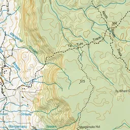
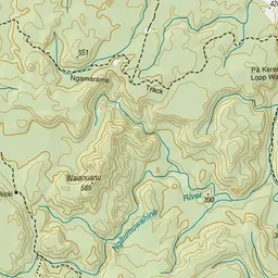
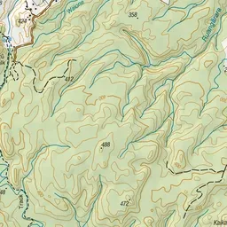
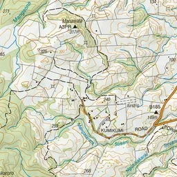
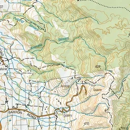
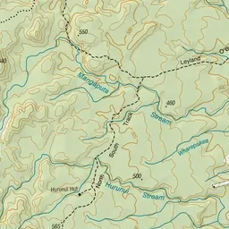
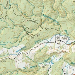
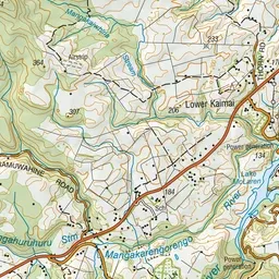
Pink: the track. Green dot: the start.
About the track
Explore the old Leyland O’Brien tramline besides the headwaters of the Ngamuwahine River.
Leyland O'Brien Tramline Track on DOC's website, for track alerts, bookings and closures.