 Ridgeflow
Lindis Valley tracks
Otago · New Zealand
Distance53.5 km (33.2 mi)all 6 sections
Climb2,586 m (8,484 ft)2,421 m (7,943 ft) down
High point1,437 m (4,715 ft)lowest 340 m (1,115 ft)
DOC's time1.5 - 7 hr one wayas DOC publishes it
GradeAdvancedDOC
This track is mapped in 6 separate sections, so there is no single profile or walking time. Climb is added up section by section.
Map
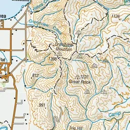
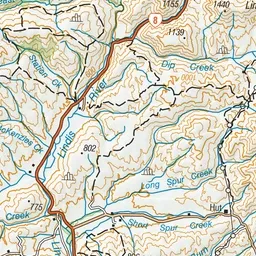
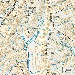
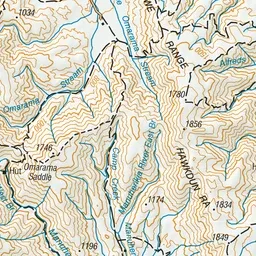
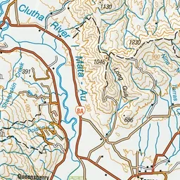
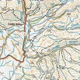
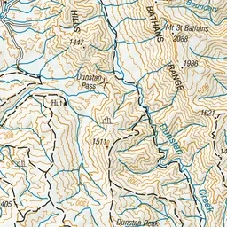
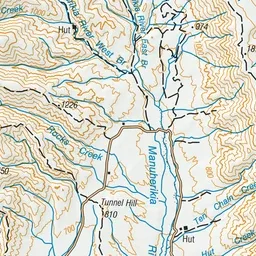
Pink: the track.
About the track
A range of tracks for walkers and mountain bikers alike, in an attractive, upland valley. Easily accessed off SH8 between Tarras and Omarama.
Lindis Valley tracks on DOC's website, for track alerts, bookings and closures.