 Ridgeflow
Little Manganuku Track
Bay of Plenty · New Zealand
Distance2.9 km (1.8 mi)along the line
Climb342 m (1,122 ft)168 m (551 ft) down
High point543 m (1,781 ft)lowest 201 m (659 ft)
DOC's time2 hr 30 min one wayas DOC publishes it
Walking time1 h 18 minone way, moving, our estimate
GradeAdvancedDOC
Elevation profile
Map
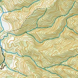
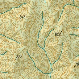
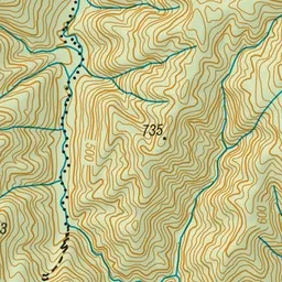
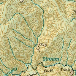
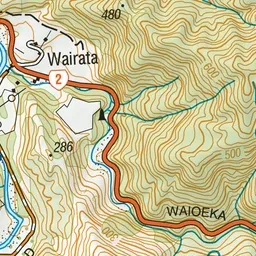
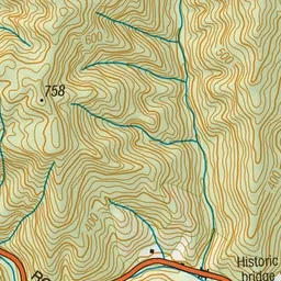
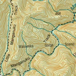
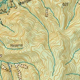
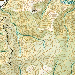
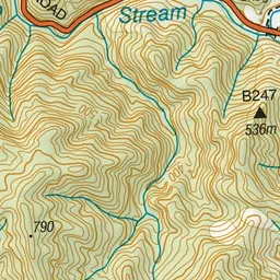
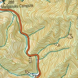
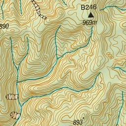
Pink: the track. Green dot: the start. Blue: campsites.
About the track
This track starts from a historic 'Howe truss' bridge and has excellent waterfall and forest views.
Campsites
- Manganuku Campsite (199 m)
Little Manganuku Track on DOC's website, for track alerts, bookings and closures.