 Ridgeflow
Liverpool Track
Otago · New Zealand
Distance14.7 km (9.1 mi)along the line
Climb900 m (2,953 ft)235 m (771 ft) down
High point1,139 m (3,737 ft)lowest 399 m (1,309 ft)
DOC's time6 hr 30 min one wayas DOC publishes it
Walking time5 h 10 minone way, moving, our estimate
GradeAdvancedDOC
Elevation profile
Map
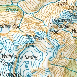
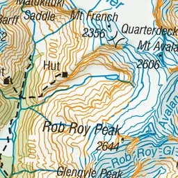
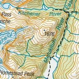
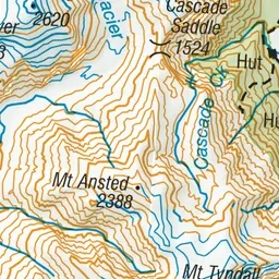
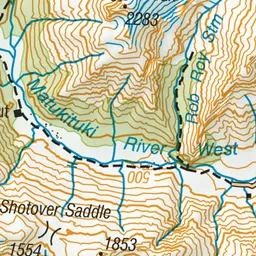
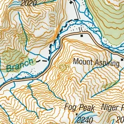
Pink: the track. Orange: huts. Blue: campsites.
About the track
Liverpool Track is in the Matukituki Valley, an hour’s drive west from Wanaka. The track starts at Aspiring Hut which you get to on the West Matukituki Track.
Huts on or near the track
- Liverpool Hut (1075 m, bookable)
- Aspiring Hut (467 m, bookable)
Campsites
- Aspiring Campsite (462 m)
Liverpool Track on DOC's website, for track alerts, bookings and closures.