 Ridgeflow
Long Gully Loop Track
Otago · New Zealand
Distance10.1 km (6.3 mi)all 3 sections
Climb555 m (1,821 ft)588 m (1,929 ft) down
High point762 m (2,500 ft)lowest 237 m (778 ft)
DOC's time3-4 hras DOC publishes it
GradeAdvancedDOC
This track is mapped in 3 separate sections, so there is no single profile or walking time. Climb is added up section by section.
Map
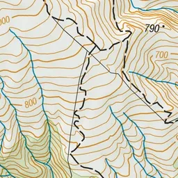
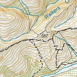
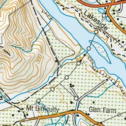
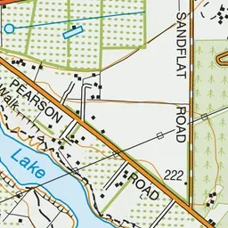
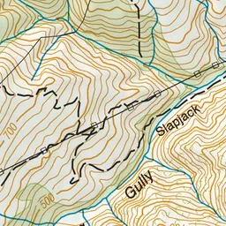
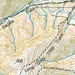
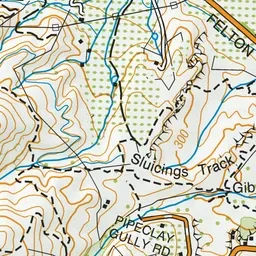
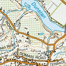
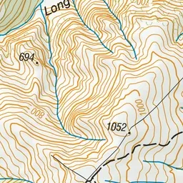
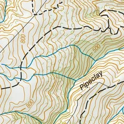
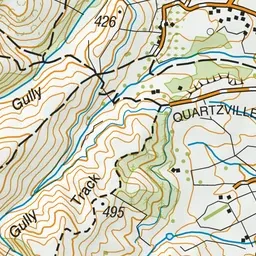
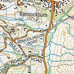
Pink: the track.
About the track
Weave your way through dramatic rock bluffs to the Long Gully Bluffs Conservation Area to get fantastic views of Lake Dunstan and the St Bathans Range - it's a steep but rewarding climb.
Long Gully Loop Track on DOC's website, for track alerts, bookings and closures.