 Ridgeflow
Lower Tīmaru River Track
Otago · New Zealand
Distance10.2 km (6.3 mi)along the line
Climb85 m (279 ft)328 m (1,076 ft) down
High point602 m (1,975 ft)lowest 359 m (1,178 ft)
DOC's time3 hras DOC publishes it
Walking time2 h 41 minone way, moving, our estimate
GradeAdvancedDOC
Elevation profile
Map
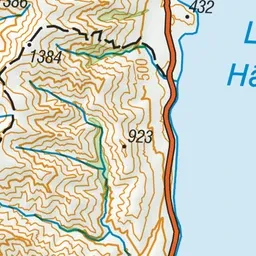
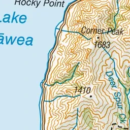
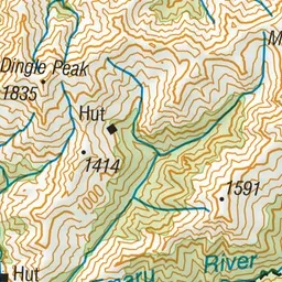
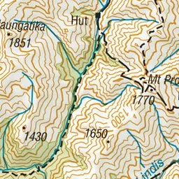
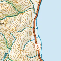
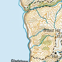
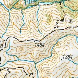
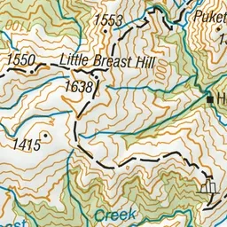
Pink: the track. Green dot: the start.
About the track
This track follows the lower section of Tīmaru River. It can be walked as a day loop with Tīmaru High River Track, and it gives access to Breast Hill Track for longer hikes.
Lower Tīmaru River Track on DOC's website, for track alerts, bookings and closures.