 Ridgeflow
Macaulay Hut Track
Canterbury · New Zealand
Distance18.2 km (11.3 mi)along the line
Climb270 m (886 ft)19 m (62 ft) down
High point1,010 m (3,314 ft)lowest 751 m (2,464 ft)
DOC's time5 hr one wayas DOC publishes it
Walking time5 hone way, moving, our estimate
GradeAdvancedDOC
Elevation profile
Map
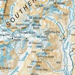
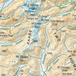
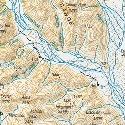
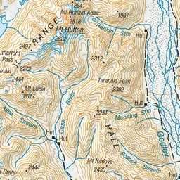
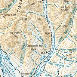
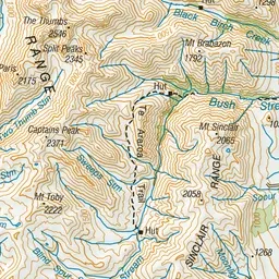
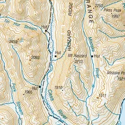
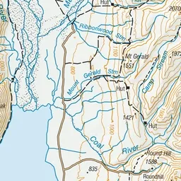
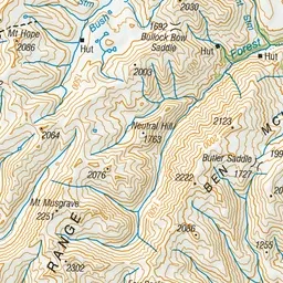
Pink: the track. Green dot: the start. Orange: huts.
About the track
Macaulay valley can be accessed on foot, or by mountain bike, horse or 4WD.
Huts on or near the track
- Macaulay Hut (1032 m)
Macaulay Hut Track on DOC's website, for track alerts, bookings and closures.