 Ridgeflow
Mahinepua Peninsula Track
Northland · New Zealand
Distance2.7 km (1.7 mi)all 4 sections
Climb76 m (249 ft)149 m (489 ft) down
High point69 m (226 ft)lowest 7 m (23 ft)
DOC's time1 hr one wayas DOC publishes it
GradeEasyDOC
This track is mapped in 4 separate sections, so there is no single profile or walking time. Climb is added up section by section.
Map

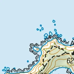
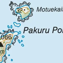
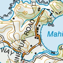
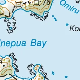
Pink: the track.
About the track
The track travels the length of the peninsula, mainly along the ridgetop, giving access to the many sheltered bays and providing outstanding coastal views.
Mahinepua Peninsula Track on DOC's website, for track alerts, bookings and closures.