 Ridgeflow
Mananui Tramline (Māhinapua Walkway)
West Coast · New Zealand
Distance6 km (3.7 mi)along the line
Climb29 m (95 ft)40 m (131 ft) down
High point39 m (128 ft)lowest 7 m (23 ft)
DOC's time2 hr - 2 hr 30 minas DOC publishes it
Walking time1 h 33 minone way, moving, our estimate
GradeEasyDOC
Elevation profile
Map
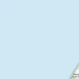
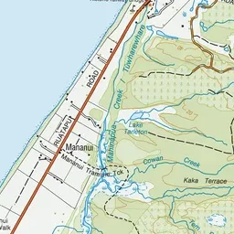
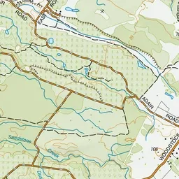
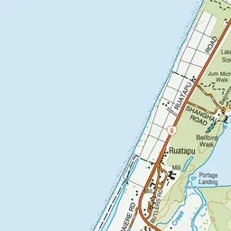
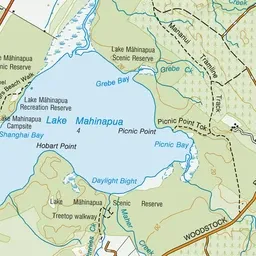
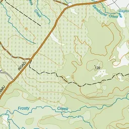
Pink: the track. Green dot: the start.
About the track
This flat, easy walk or mountain bike ride, suitable for children, follows an old logging tramline and passes beautiful Lake Māhinapua.
Mananui Tramline (Māhinapua Walkway) on DOC's website, for track alerts, bookings and closures.