 Ridgeflow
Manawatu Gorge Track
Manawatū-Whanganui · New Zealand
Distance8.4 km (5.2 mi)all 10 sections
Climb460 m (1,509 ft)328 m (1,076 ft) down
High point383 m (1,257 ft)lowest 64 m (210 ft)
DOC's time3 - 5 hr one wayas DOC publishes it
GradeEasyDOC
This track is mapped in 10 separate sections, so there is no single profile or walking time. Climb is added up section by section.
Map
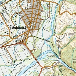
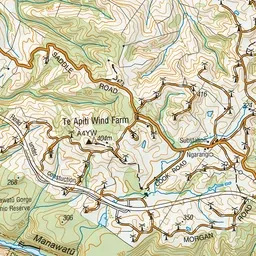
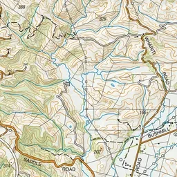
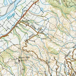
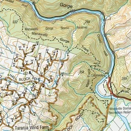
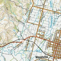
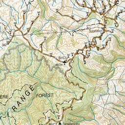
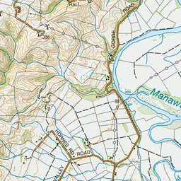
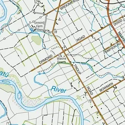
Pink: the track.
About the track
Walk through native bush, enjoy scenic views and experience native wildlife only a short distance from Palmerston North.
Manawatu Gorge Track on DOC's website, for track alerts, bookings and closures.