 Ridgeflow
Mangahao Makahika Track
Manawatū-Whanganui · New Zealand
Distance12.8 km (7.9 mi)along the line
Climb658 m (2,159 ft)438 m (1,437 ft) down
High point677 m (2,221 ft)lowest 160 m (525 ft)
DOC's time6 - 7 hrs going south, 7- 8 hrs going northas DOC publishes it
Walking time4 h 18 minone way, moving, our estimate
GradeAdvancedDOC
Elevation profile
Map
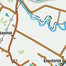
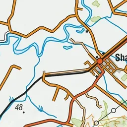
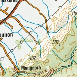
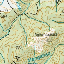
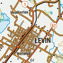
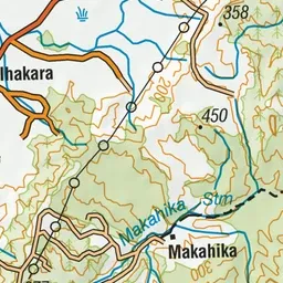
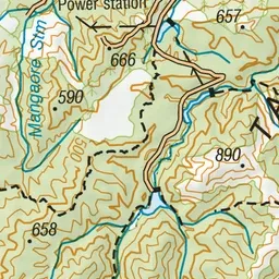
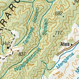
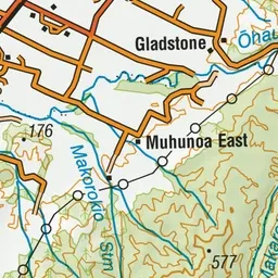
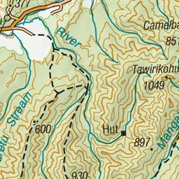
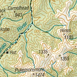
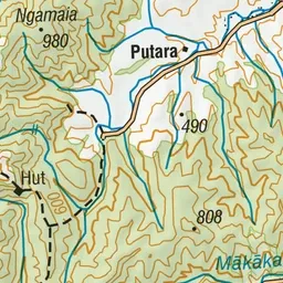
Pink: the track. Green dot: the start.
About the track
The Mangahao Makahika Track connects Burtton's Track, which lies between Palmerston North and Shannon, with the Arapaepae Lookout Trail near Levin. This track is part of Te Araroa Trail.
Mangahao Makahika Track on DOC's website, for track alerts, bookings and closures.