 Ridgeflow
Mangakara Nature Walk
Waikato · New Zealand
Distance1.3 km (0.8 mi)along the line
Climb50 m (164 ft)15 m (49 ft) down
High point207 m (679 ft)lowest 157 m (515 ft)
DOC's time1 hras DOC publishes it
Walking time24 minone way, moving, our estimate
GradeEasiestDOC
Elevation profile
Map

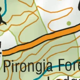
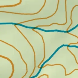
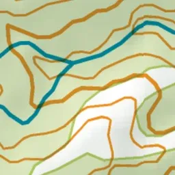
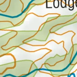
Pink: the track.
About the track
This loop walk passes through ancient forest with towering trees and a beautiful stream - with interpretation signs as well this is a great option for children.
Mangakara Nature Walk on DOC's website, for track alerts, bookings and closures.