 Ridgeflow
Manganui Gorge Track
Taranaki · New Zealand
Distance1.5 km (0.9 mi)along the line
Climb122 m (400 ft)14 m (46 ft) down
High point1,264 m (4,147 ft)lowest 1,156 m (3,793 ft)
DOC's time20 min one way to bridge and further 5-10 min to sas DOC publishes it
Walking time34 minone way, moving, our estimate
GradeEasyDOC
Elevation profile
Map
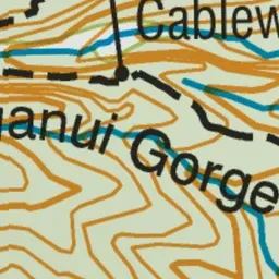
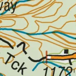
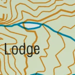

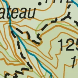
Pink: the track. Green dot: the start.
About the track
This track takes you to the Manganui Gorge suspension bridge then on to the ski field. On a clear day this walk provides great views of North Taranaki and up the coastline.
Manganui Gorge Track on DOC's website, for track alerts, bookings and closures.