 Ridgeflow
Mangaone Walkway
Wellington · New Zealand
Distance7.2 km (4.4 mi)along the line
Climb173 m (568 ft)155 m (509 ft) down
High point271 m (889 ft)lowest 122 m (400 ft)
DOC's time3 hr one wayas DOC publishes it
Walking time2 h 5 minone way, moving, our estimate
GradeEasyDOC
Elevation profile
Map
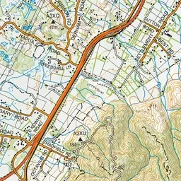
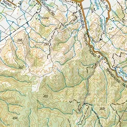
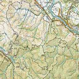
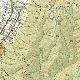
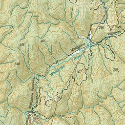
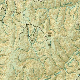
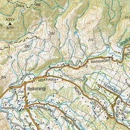
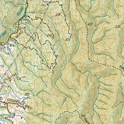
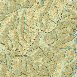
Pink: the track. Green dot: the start.
About the track
Mangaone Walkway follows an old bush tramway in low hill country east of Waikanae. It was historically known as Reikorangi Track.
Mangaone Walkway on DOC's website, for track alerts, bookings and closures.